Current forest fires in the Russian Federation
Forest Fires in the Russian Federation
20 April 2015
Russia Wildfire Smoke Reaches California, Oregon and Washington (published by www.weather.com 20 April 2015)
Smoke from wildfires thousands of miles away in Russia reached the U.S. West Coast this past weekend (April 17-19).
Strong winds fanned agricultural fires in Siberia on April 12 that eventually got out of control. At least 23 people were killed and more than 1,000 homes were damaged or destroyed in southern Siberia.
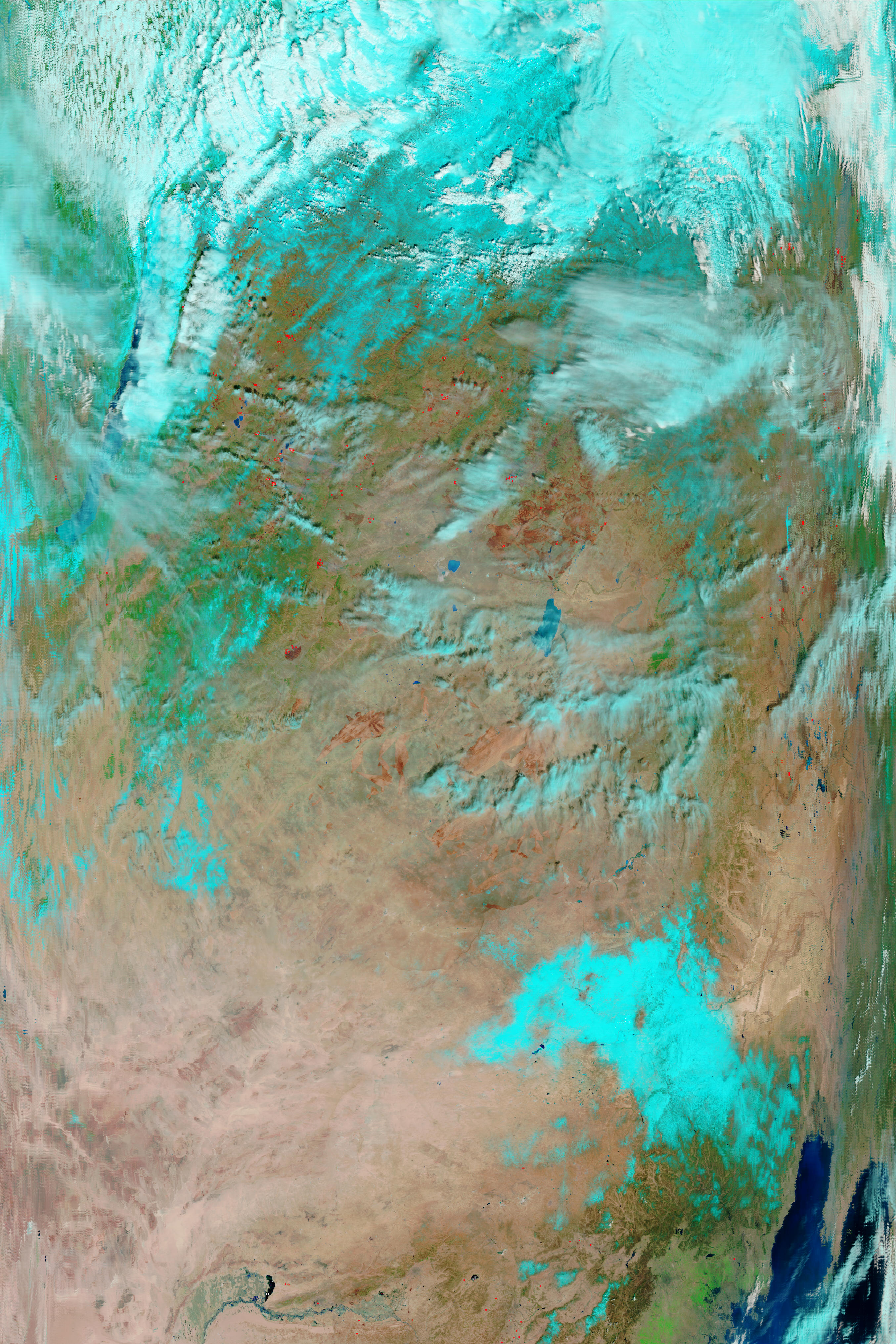
In the first three images above you can see how satellites sensed the aerosols associated with the smoke as winds aloft transported them from eastern Russia to the north Pacific Ocean April 15-17. The blue, green, yellow and orange shadings illustrate where the aerosols were concentrated each day as they spread east.
The smoke reached Washington on April 17, as shown by the hazy conditions in the fifth image. Hazy skies were observed by residents of western Washington that day, as the National Weather Service in Seattle noted in this tweet.
Smoke from the Russian fires then spread southward near and either side of the Oregon and northern California coasts April 18-19. The smoke was clearly visible on satellite both days.

The blue, green, yellow and orange colors show the aerosols associated with the smoke in eastern Russia on April 15, 2015.
Source: NASA
The blue, green, yellow and orange colors show the aerosols associated with the smoke spreading from eastern Russia to over the northwest Pacific Ocean on April 16, 2015.
Source: NASA

Smoke off the coast of Washington on April 17, 2015.
Source: NASA

The green, yellow and orange shadings are showing the aerosols associated with the smoke off the coast of Washington on April 17, 2015.
Source: NASA

Several smoky fires burned in Zabaikalsky Territory on 14 April 2015, when theModerate Resolution Imaging Spectroradiometer (MODIS) on NASAs Terra satellite acquired this image. The fires are outlined in red. Several dark burn scars are visible through the smoke.
Source: NASA Earth Observatory
Fire maps of Zaibaikaski Krai, Russian Federation and Mongolian Border, 20 April 2015


Images of the fires ravaging Siberian region – 15 April 2015 (published by The Washington Post)

A man looks downhill at the settlement of Shyra, damaged by recent wildfires, in the Khakassia region.
Source: Ilya Naymushin/Reuters

Burnt vehicles are seen in Shyra.
Source: Ilya Naymushin/Reuters

Family members walk past the debris of destroyed buildings.
Source: Ilya Naymushin/Reuters


Firefighters of the Federal Reserve gearing up for assisting local authorities in fighting remote wildfires in Chita.
Source: GFMC
Dashcamera of a vehicle driving through an area under severe fire conditions (Video: RT.com 17 April 2015)
Russian farmers routinely set fire to dry grass to clean fields after the winter, sometimes accidentally sparking blazes that result in loss of life and damage to homes.
During the first weeks of April 2015, grassfires have ravaged across the Siberian regions of Russia, killing 26 people and injuring almos a thousand.
The combination of temperatures reaching 25°C and high winds have fueled the fires that have destroyed buildings and killed livestock.
In 2010, during Russias worst heatwave in decades, smoke from wildfires and burning peat bogs in central Russia choked Moscow for several days.
Video showing part of the catastrophic fires in Russia, recorded by an eyewitness (Video: Julia Sergeeva)


12 April 2015
13 April 2015
Accumulated maps of thermoactive (burnt area) zones in Central Regions of Russia.
5 – 13 April, 2015
More maps of other regions are available on request: fire@fire.uni-freiburg.de

This image, captured on 14 April 2015 by theModerate Resolution Imaging Spectroradiometer (MODIS) onboard the Terra satellite, shows fires on the Russian regions of Buryatia, Chita
and Amur. The active fires appear as red dots. A large smoke plume can be spotted surrounding the whole region.
Source: Nasa Earth Observatory (image edited and interpreted by GFMC)

Image, captured on 13 April 2015 by theModerate Resolution Imaging Spectroradiometer (MODIS) onboard the Terra satellite, showing fires on Siberia, Russia. The right picture is the same as the left one on false color, showing the burn scars of the fires in red-brown. The active fires appear as red dots.
Source: Nasa Earth Observatory (image edited and interpreted by GFMC)
Videos:
Fires in Siberia (published by http://actumag.info 16 April 2015)
Drone surveys fires in Siberia (published by http://actumag.info 16 April 2015)
WildlandFire relatednews from the Media: Note: The hyperlinks on the left side of each news are password-protected (User ID and password to enter the GFMC database are
available for partners of GFMC). The links on the right side (in brackets) are leading to the original news source; sometimes these news are expiring rather swiftly – a reason for the
establishment of the internal GFMC database):
-
Russian TV channel admits reporter dropped cigarette at wildfire (published by http://news.yahoo.com 23 April 2015)
-
Why is it hazy in Utah? (published by www.good4utah.com 23 April 2015)
-
Why are forests burning in Russia before the beginning of the fire risk season? (published by http://rbth.co.uk 23 April 2015)
-
Russian Firefighting Boss in Wildfire-Ravaged Region Arrested as Putin Visits (published by www.themoscowtimes.com 21 April 2015)
-
BBC Russia Media Coverage Siberian Wildfires April 2015 (PDF, 0.5 MB)
-
Death Toll In Siberia Wildfires Reaches 34; Putin Orders Repairs (published by www.rferl.org 21 April 2015)
-
Siberian smoke in Reno? Winds bring haze from field fires (published by www.rgj.com 20 April 2015)
-
Putin’s Envoy Blames Opposition For Siberian Wildfires (published by www.rferl.org 18 April 2015)
- Putin Pledges $100 Million in Aid to Fire-Ravaged Southern Siberia (published by www.themoscowtimes.com 16 April 2015)
- Wildfires sweep through Siberia (published by www.theguardian.com 14 April 2015)
- Wildfires kill 23 in Russia’s Siberia (published by www.reuters.com 13 April 2015)
- 15 dead as grassland fires destroy about 1,000 houses in Siberia (published by http://rt.com 13 April 2015)
For more media reports see GFMC Media page: https://gfmc.online/media-highlights-on-fire-policies-and-politics.html
Book Publication on the Use of Prescribed Fire in the Russian Federation (published May 2013)
Background on Wildland Fires in the Russian Federation
- Novosibirsk International Congress on Forest Fire and Climate Change (2013)
- Krasnoyarsk International Fire Management Weeks (2012 and 2013)
- Forest Fire and Smoke Episode in Western Russia 2010
- IFFN Russian Federation Special Issue (IFFN 32)
- Russia 2002 fire report
- IFFN Russian Federation 2002 Fire Special (IFFN 28)
- IFFN Reports from Russia
- Fire Research Campaign Asia-North (FIRESCAN)
Bibliography on fire in ecosystems of boreal Eurasia
One of the results of the first international fire science conference in the Russian Federation (1993) was the publication of a monograph on fire in boreal Eurasia, including some selected contributions on boreal North America. The literature cited in the monograph contains numerous publications which in many cases are not easily accessible. To facilitate literature search the bibliographical sources are provided by topic (chapter).
Goldammer, J.G. and V.V. Furyaev. 1996. Fire in Ecosystems of Boreal Eurasia. Kluwer Academic Publishers, Dordrecht, 390 p.
